

DFW Site Metrics
RTK drone aerial mapping and imagery for the Dallas–Fort Worth area. Listing media, orthomosaic imagery, and terrain data — delivered on a hosted page you can share with one link.
FAA Part 107 certificated · Commercially insured · RTK precision GPS · DFW metroplex
What every job delivers
Listing media
Edited aerial stills and 4K listing video for land and acreage listings — context, frontage, water, and approach views of the whole tract.
Orthomosaic mapping
RTK-corrected orthomosaic imagery of the full property, down to 4 cm per pixel — one seamless top-down image of the tract.
Terrain data
Elevation models and contour exhibits from the same flight — slope, drainage, and usable ground, for planning and visualization.
Every job arrives on a hosted page you can forward with one link — no account needed to view it.
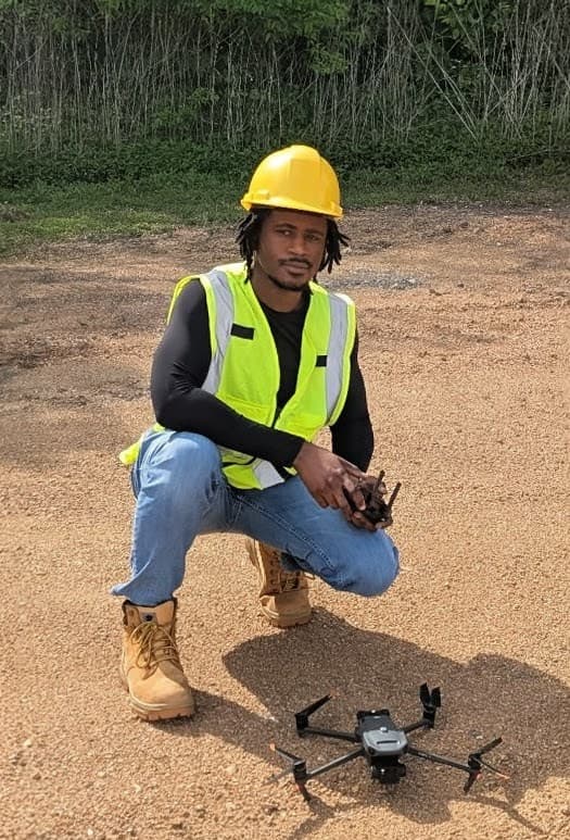
Owner / The Drone Guy
I'm Ivell Romas, a FAA Part 107 certificated remote pilot based in Rowlett. I plan and fly every mission myself with an RTK-equipped DJI mapping drone, process the data on my own pipeline, and deliver it on a page you can forward with one link — aerial stills and video for listings, orthomosaic imagery, and terrain data for planning. Fully insured, flying across the DFW metroplex.
- FAA Part 107 certificated
- Commercially insured
- RTK precision GPS
- Dallas, Fort Worth, and the greater DFW Metroplex
Plan a mission
Tell me about the property — location, rough acreage, and what you need it for — and I'll come back with a plan and a quote, usually same day.
Call or text — texting a parcel address is the fastest start.
Have an access code?
If you were given a code for a property — on a card, an exhibit, or from your agent — enter it here to view the imagery.